00 ▪ Independent
WMap
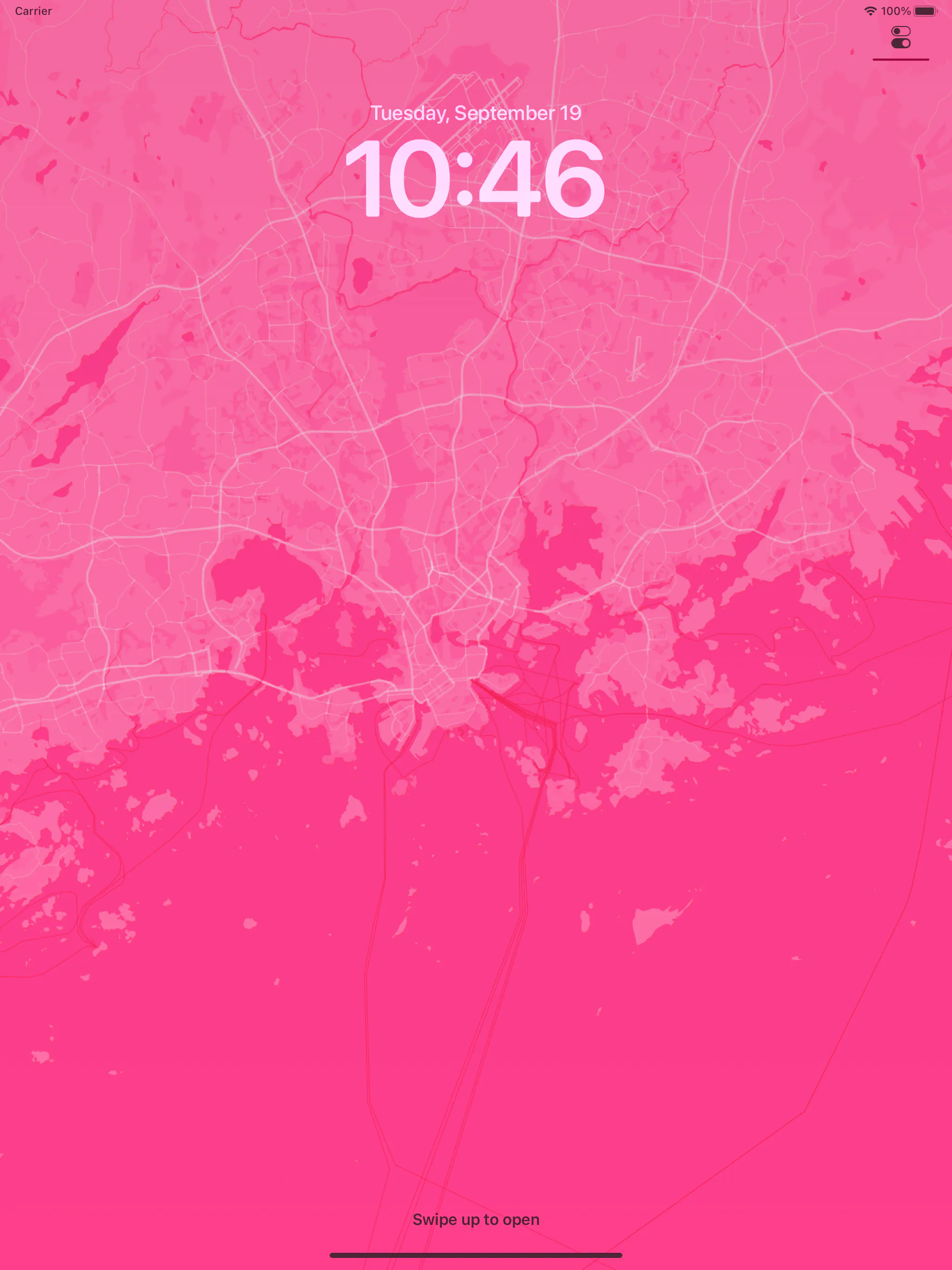
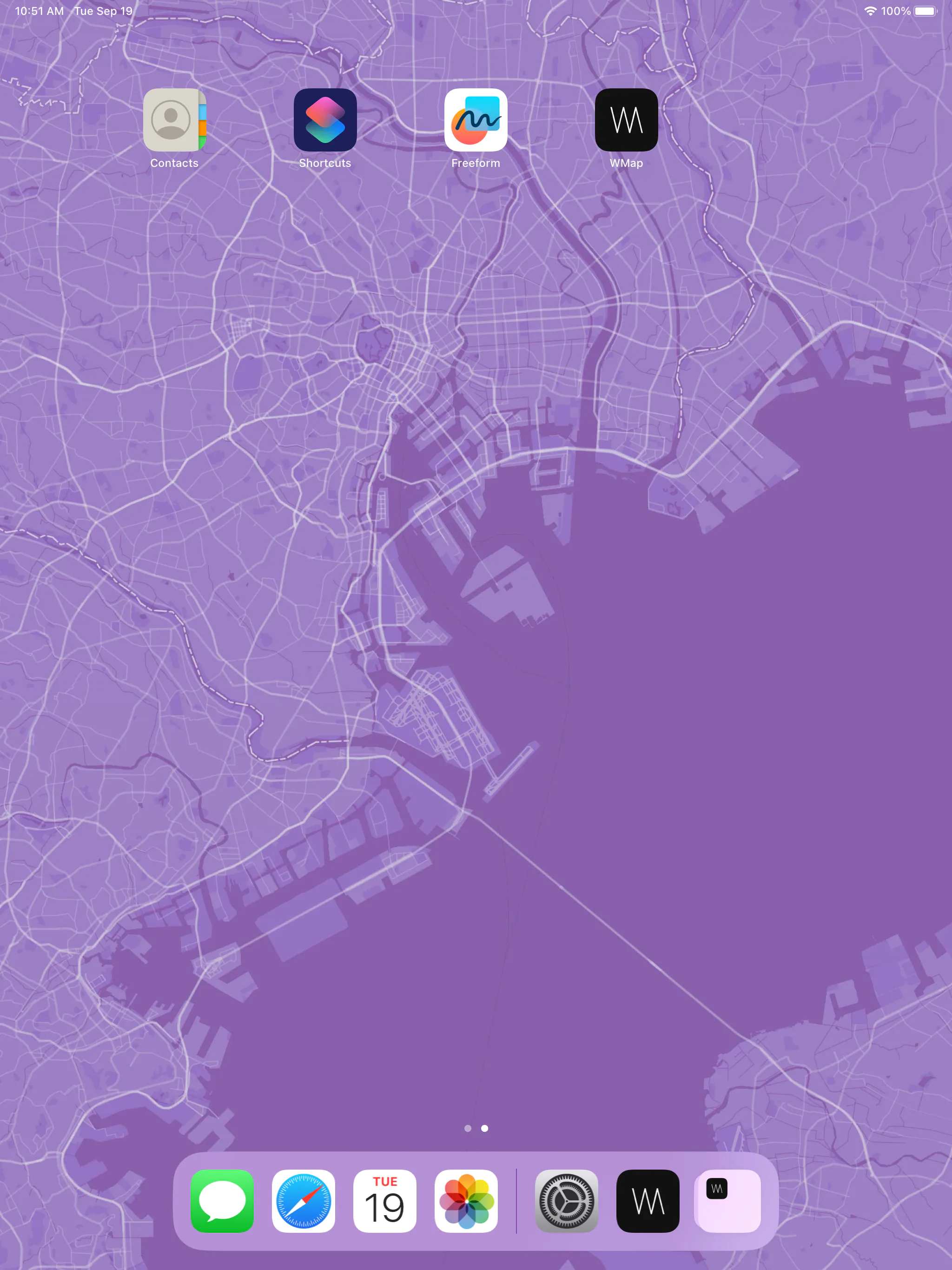
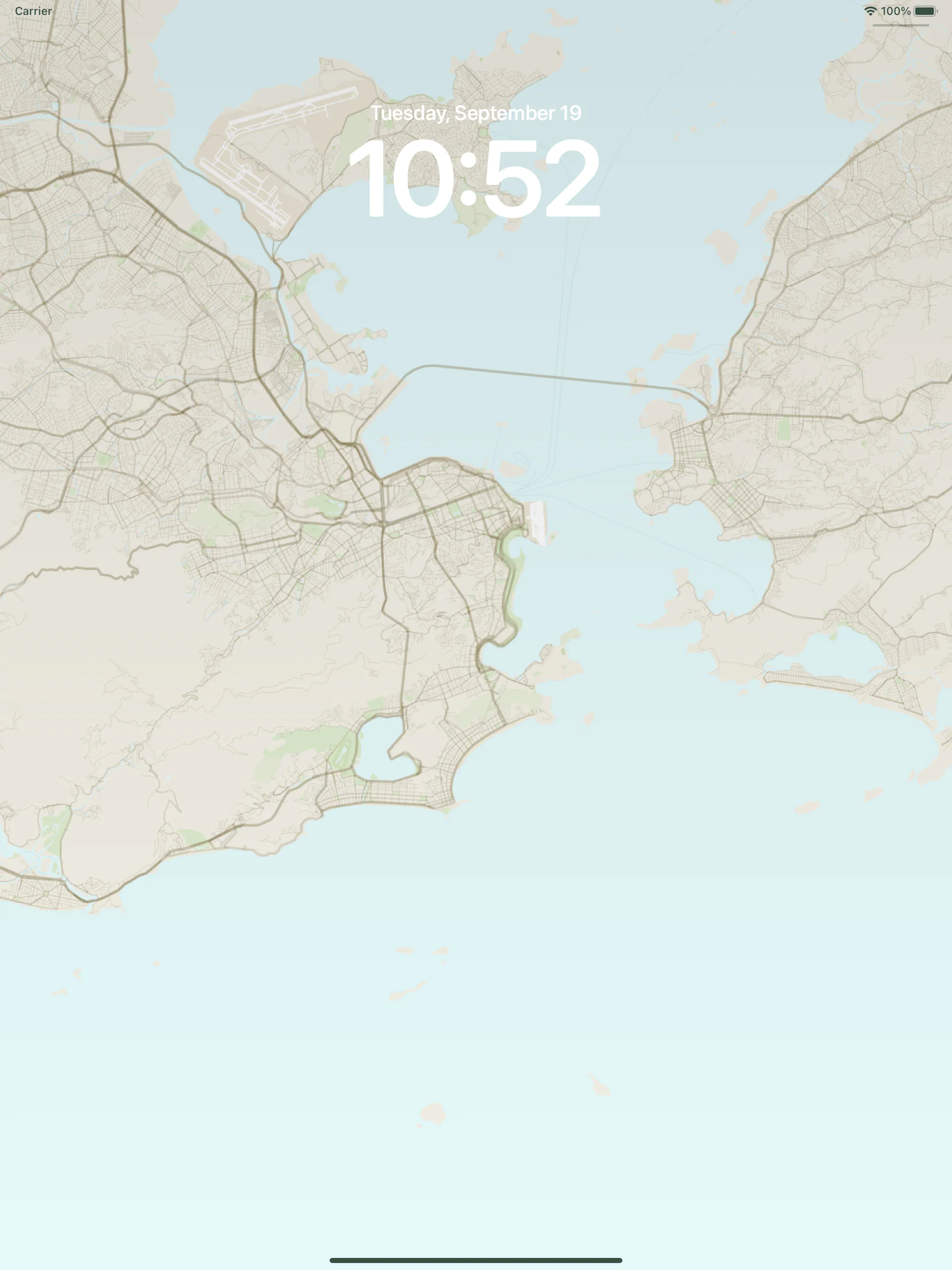
Aesthetic wallpapers made from real places.
I designed and built this map wallpaper app with Flutter and Mapbox. I've published and maintained it since August 2019.
01
A different kind of wallpaper
WMap began after I found several wallpaper apps on the App Store. They had interesting ideas, but also some limits. I also wanted to learn Flutter and was looking for a small product I could build on my own.
The idea was simple: choose a place, choose a map style, compose it, and turn it into a wallpaper.
Instead of picking an image someone else made, WMap lets you turn any place in the world into something personal.
02
The map is the canvas
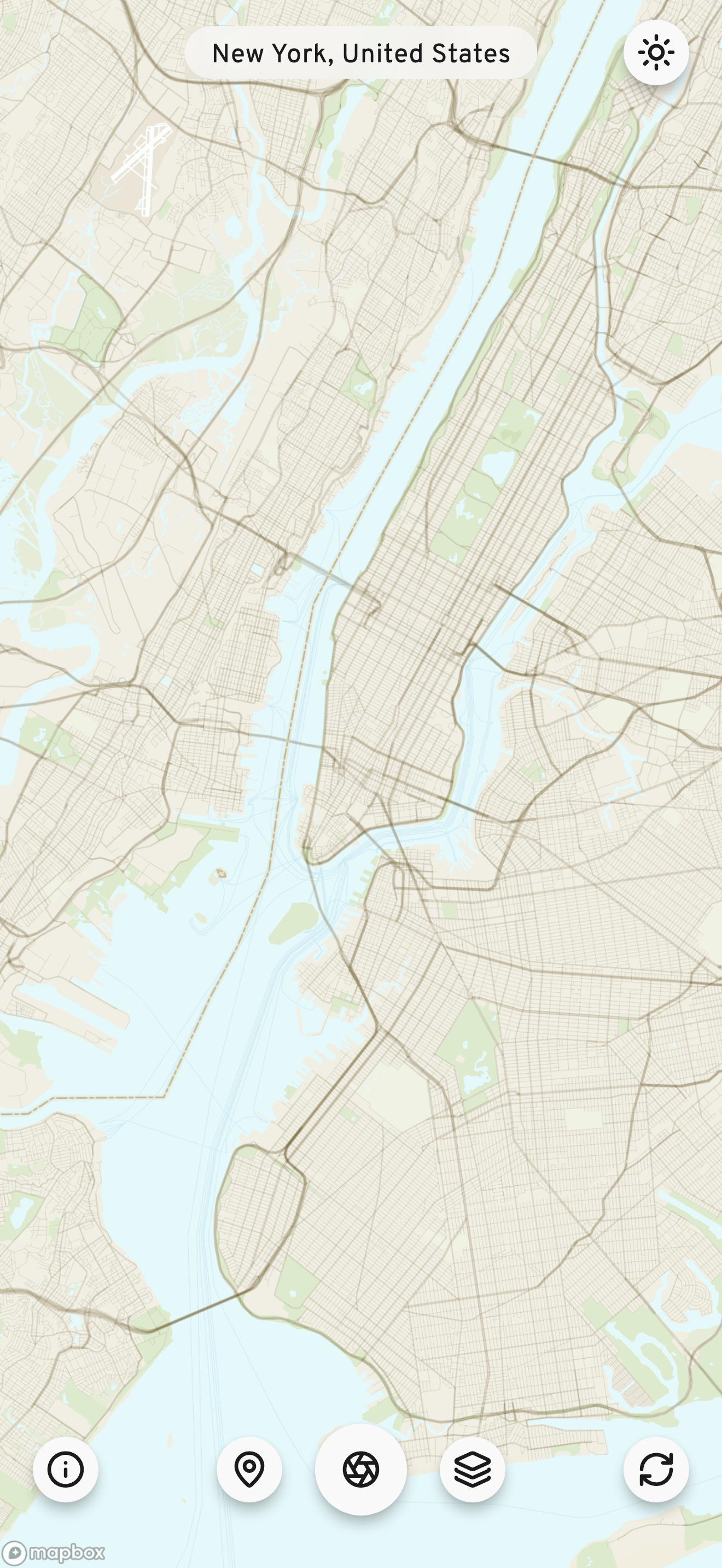
The interface is simple because the map is the main visual element.
The map fills the screen, with a few floating controls at the bottom. The UI uses black and white, restrained spacing, and distinctive typography so it doesn't compete with the map.
The main steps are simple:
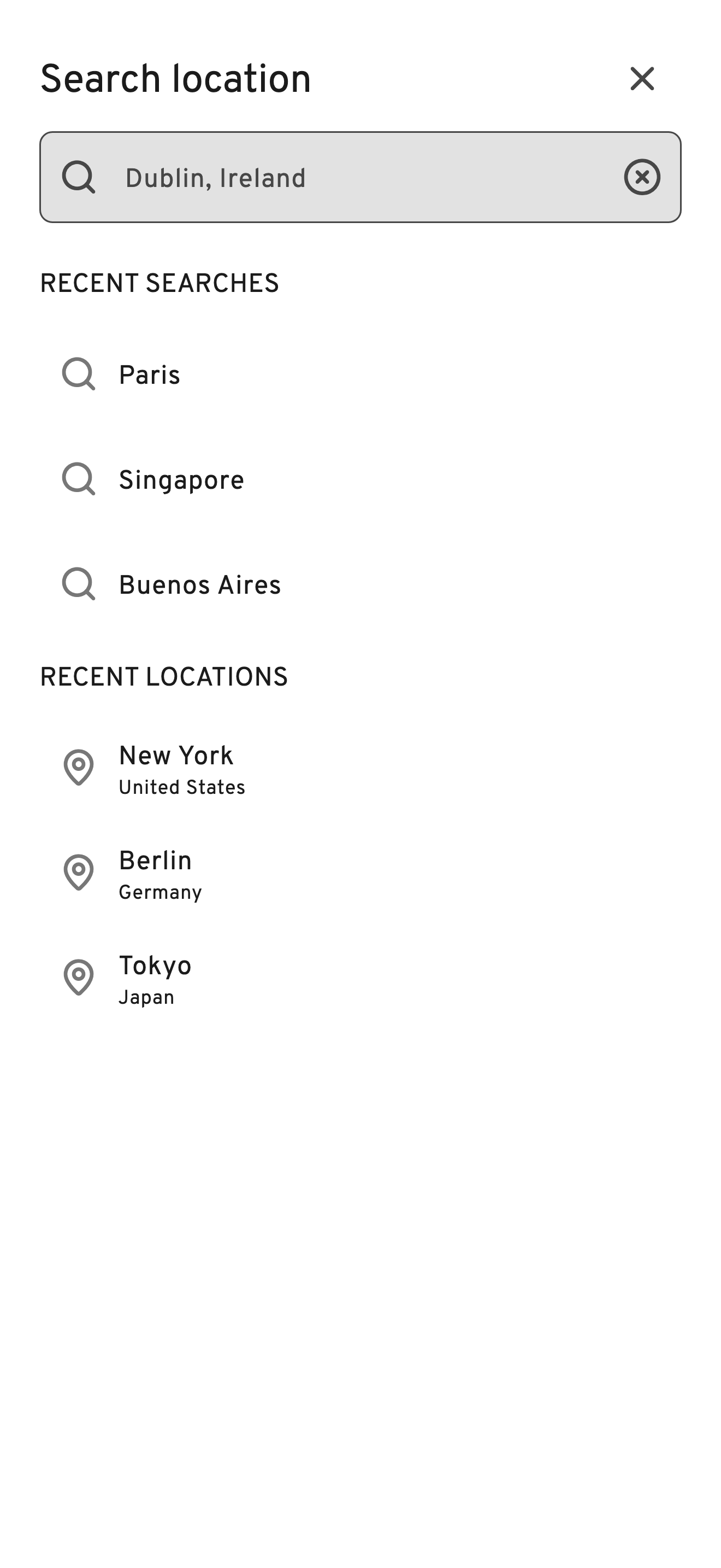
- Location — choose from hand-picked places or search anywhere in the world.
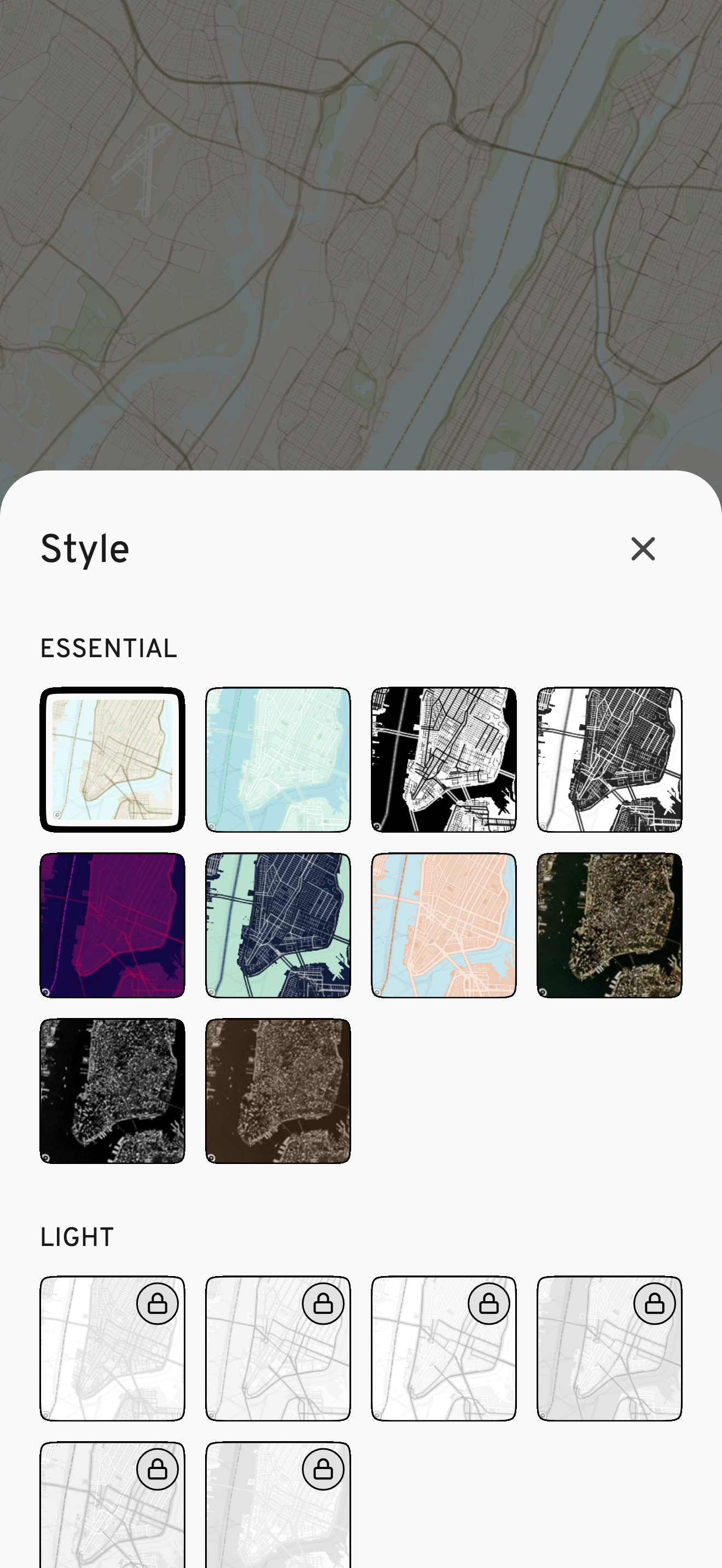
- Style — browse a visual grid and apply different map styles.
- Compose — zoom, rotate, and position the map to make the image you want.
- Randomize — get a random place or style for inspiration.
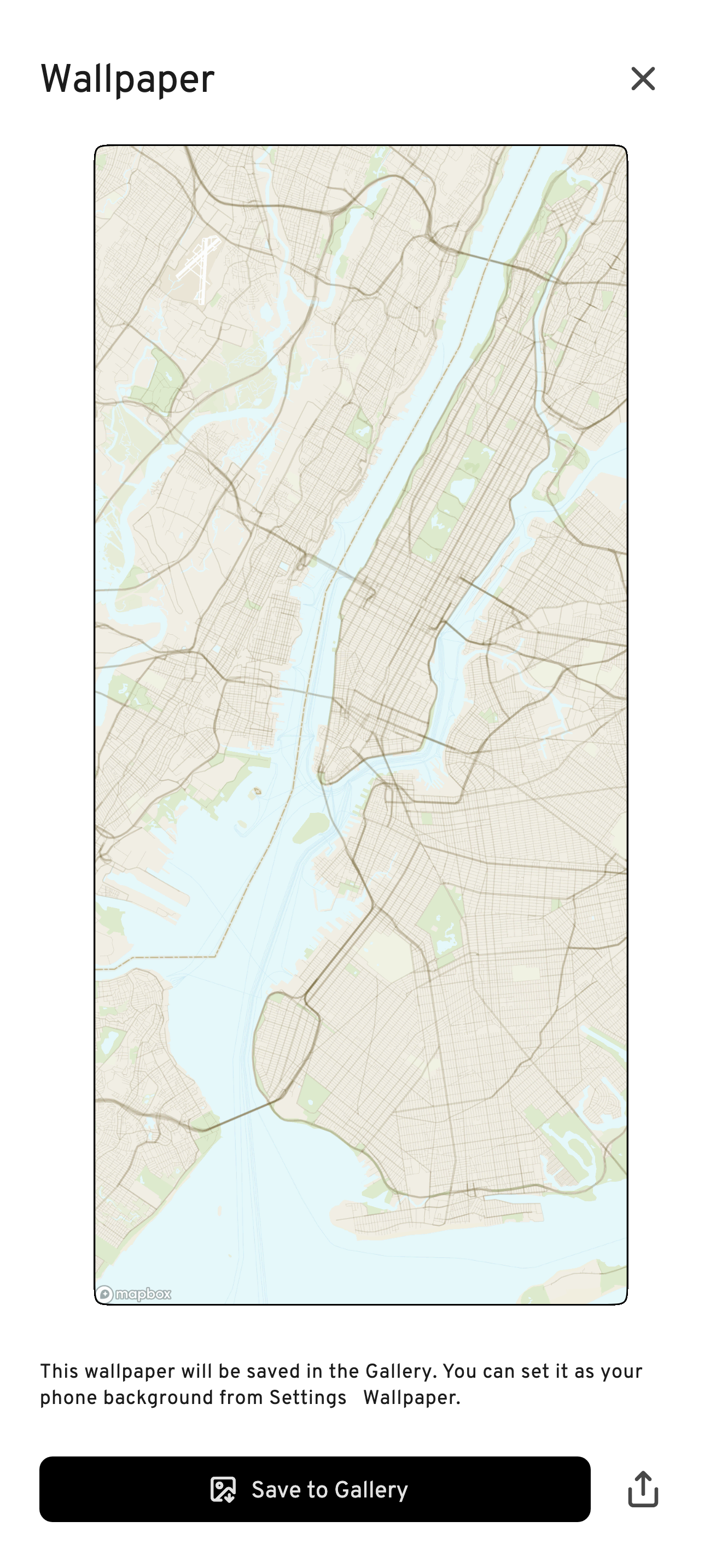
- Create — make and save the finished wallpaper.
On Android, you can also set the image directly as your device wallpaper.
03
Designing the experience
I designed the whole product, from its visual style and navigation to the interactions and layout.
I didn't want to make a complex wallpaper editor. I wanted to keep the focus on what people came for: exploring places and making something visually interesting from them.
The main interaction has changed little since the first release. I've mostly improved the UI and individual interactions instead of redesigning the product from scratch.
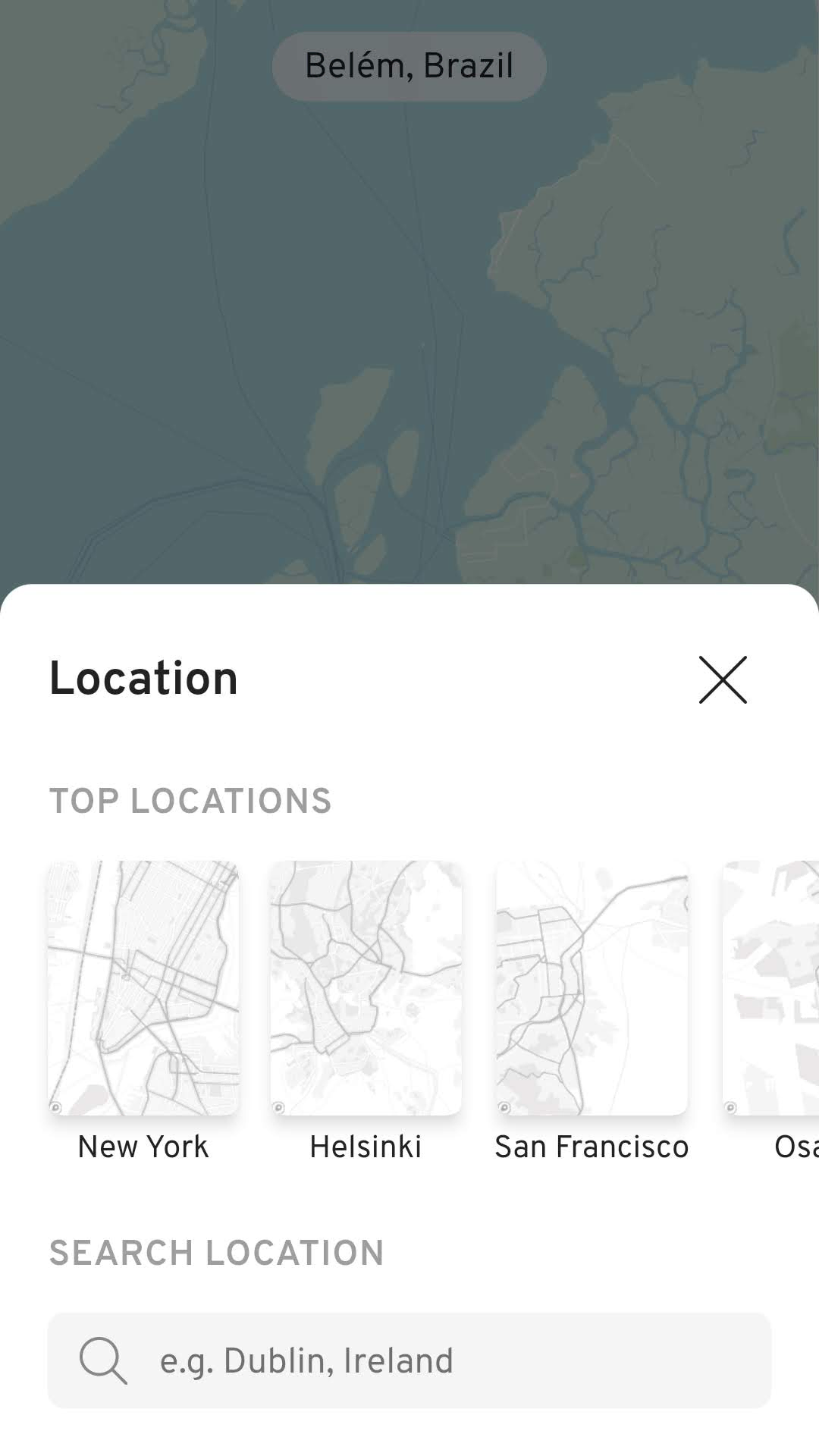
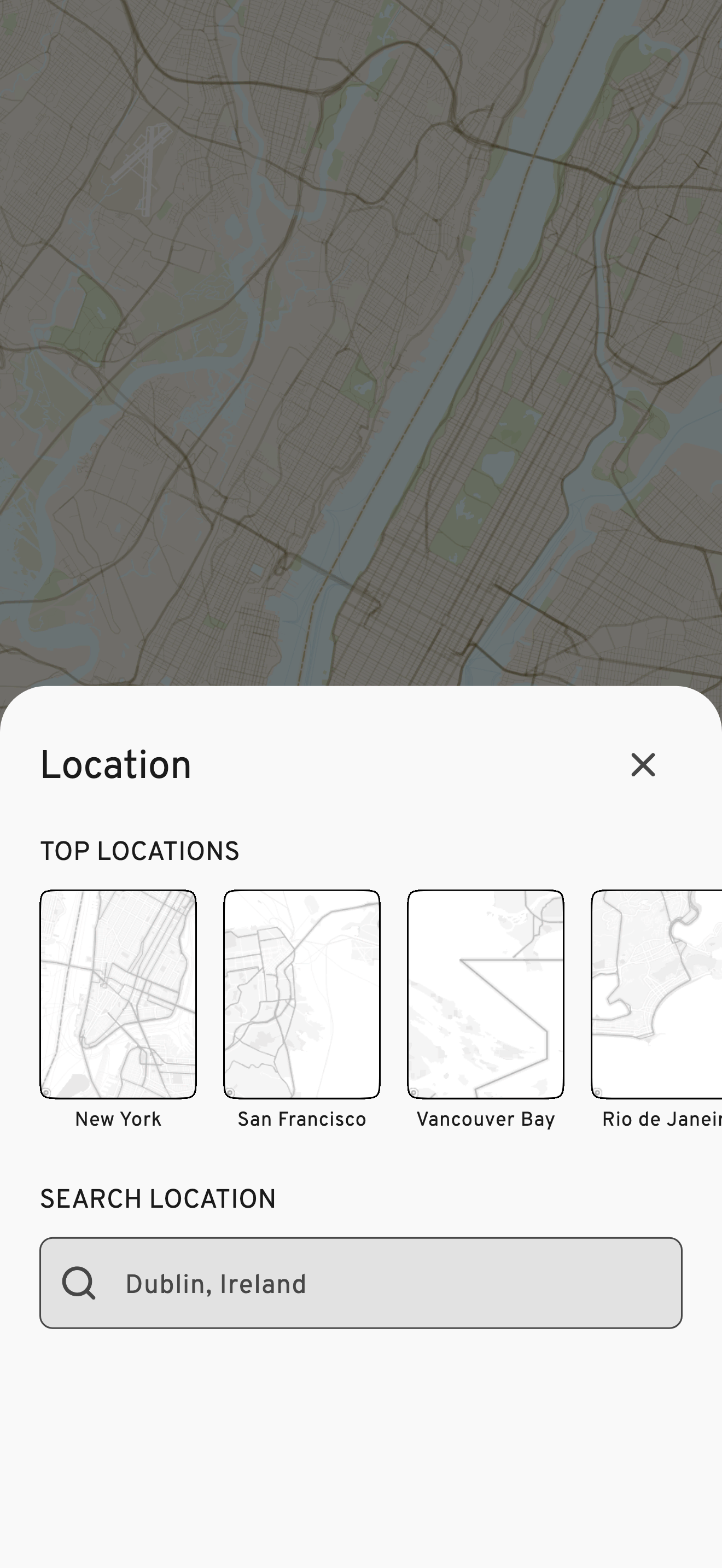
Over time, I've updated the icons, spacing, and visual order, and added a light/dark theme. The location feature now has search and a list of recently selected locations for quicker access.
04
When generating an image wasn't that simple
The most interesting technical problem was the seemingly simple task of turning the map into an image.
Mapbox renders the map as a platform view inside Flutter. This meant Flutter couldn't take a screenshot of it directly.
My first solution used native code to capture the rendered view outside Flutter. It worked, but made the app more complex. It also left out Mapbox's required copyright attribution.
I later changed the approach completely.
WMap now uses the Mapbox image API to generate the map at the required dimensions instead of capturing the view. The API also adds the required attribution.
One change solved two problems: a simpler implementation and correct map attribution.
Approach 1 — capture the rendered view
Approach 2 — generate the image (current)
05
From Flutter experiment to real product
WMap began as a way to learn Flutter, but I decided to publish it instead of leaving it as an experiment.
I designed and built the product on my own, released it on the App Store and Play Store, and have maintained it since it launched in August 2019.
At first, users could buy separate style packs. In March 2021, I changed this to one "all styles" purchase after I saw that users weren't very interested in buying single packs.
-
Aug 2019
Launch
App Store + Play Store
-
Mar 2021
All-styles
Single in-app purchase
-
today
Ongoing
Maintenance, updates, refinements
Today, WMap has about 6,000 downloads.
06
Still shipping
WMap is a small product, but it's been running for about seven years.
I still maintain it with bug fixes, platform updates, and UI refinements. I also deal with the limits of relying on third-party map data and services.
For me, that's part of making independent products. The work doesn't end when the first version reaches the store. You ship, maintain, learn, and keep improving.